Remote sensing and monitoring
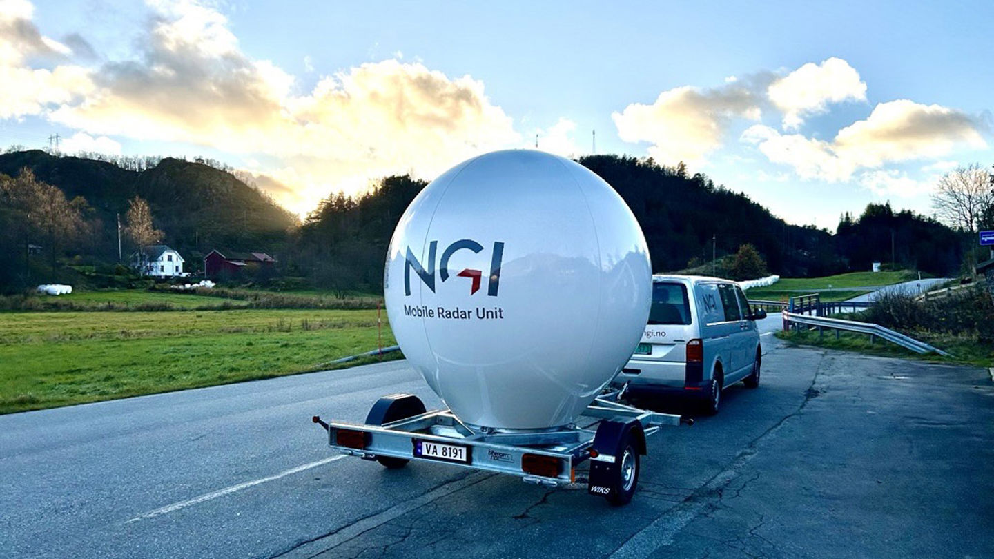
We carry out remote sensing from satellites, drones and the ground.
Remote imaging methods from terrestrial, airborne or satellite-based platforms are used to map, monitor and measure phenomena on the Earth's surface. These methods can be used for settlement and deformation monitoring in urban areas, mapping rock slides and engineering geological assessments.
NGI uses many remote sensing datasets combined with geographic analysis and visualization to provide insight into geotechnical and geoscientific projects.


