- NGI /
- Projects /
- International Quick Clay Center /
- NGI-GBV – Quantification of 3D effects on slope stability in QC terrain
NGI-GBV – Quantification of 3D effects on slope stability in QC terrain

There is today no reliable approach to model the complete process, including initiation and run-out, of landslides in sensitive clays, both on land and offshore. A better understanding and modelling of the entire process would help assess more correctly potential release zones for landslides in sensitive clays, and thereby lead to a better hazard zone mapping than what is done today. The purpose of the project is to model landslide initiation and propagation (mobility) with the coupled Eulerian-Lagrangian (CEL) version of the finite element method (FEM)-based program ABAQUS in 3D. The project includes a collaboration with Tongji University (Shanghai, China). Tongji was awarded recently an international research Center of Excellence on Resilient Infrastructure (ICRI) to which NGI is a partner.
Predicted Rissa landslide propagation versus time, plan view, modelled by BingClaw. Red dotted curve is the mapped landslide extent. (Liu et al. 2021).

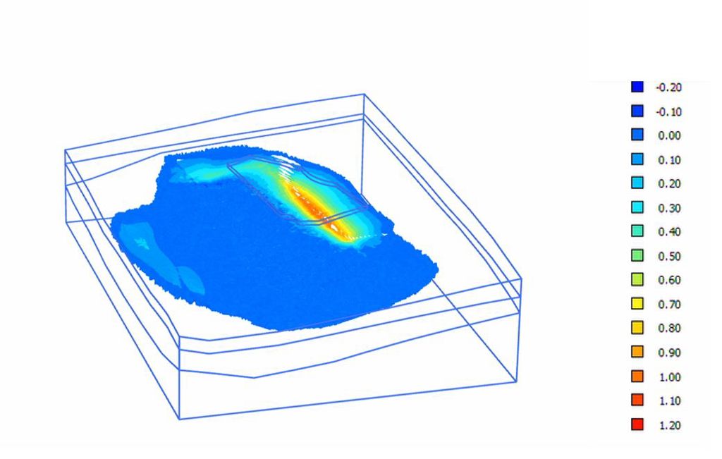
Figure 1. Contour depicting development of softening in the quick clay layer for the Skjeggestad bridge slope. The colour scale illustrates the degree of softening (where 0 no softening, and 1 is complete softening).