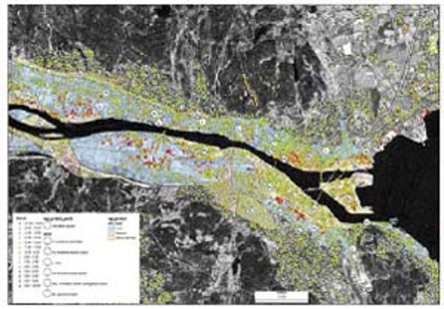
Subsidence mapped by inSAR
Satellite-based interferometric Synthetic-Aperture Radar - inSAR has proved to be a valuable tool to detect movements of the ground using the Permanent-Scatterers method.
NGU is mapping successfully the subsidence of the city of Trondheim. ICG/NGU now has a considerable amount of data on movement that needs to be gone through in great detail to isolate unusual behavior. It is easy to create a map showing average velocity and see things that are moving constantly, but many areas move intermittently and this gets hidden in the data. The challenge is to find a method to identify these points within hundreds of thousands of data points.
Some preliminary work on developing visualization tools has been done; this work may be continued in cooperation with geostatistics experts abroad. Fieldwork will be performed in Drammen, Åknes, and in Trondheim.
The work in Drammen will provide support for the analysis of the existing data covering Drammen. Corner reflectors will be set up at Åknes to test ground-based SAR systems. Finally, resistivity measurements and reflection seismics in Trondheim are considered to obtain additional data for identifying the large movements detected in the Eberg neighborhood.
A new effort in the European Community (IGOS - geohazards) has also been initiated to work with the application of satellite imaging and radar data for detecting geohazards. This activity is part of the ICG Prevention and Mitigation project.

Figure 6. inSAR measurements in Drammen (NGU), Norway, with superposition of sediment type (NGI) and subsidence rate, red indicating a reduction in elevation (figure courtesy of John Dehls, NGU)