- NGI /
- Projects /
- ChEESE - High Performance Computing for solid earth geosciences /
- Probabilistic Tsunami Hazard Analysis
Probabilistic Tsunami Hazard Analysis
Tsunamis pose a formidable hazard, but one that occurs relatively infrequently. The very low number of historical tsunamis for which sufficient data exists is all the more a reason to increase our understanding of the hazard using numerical simulation.

The intensity of a tsunami is measured in terms of how it would affect coastal populations and infrastructure. There are many different measures of tsunami inundation: maximum height of water, the flow depth, the area of inundation, the momentum flux (or how energetic the tsunami is). The inundation of a tsunami resulting from an earthquake will be a function of all of the following:
- The source (how large the earthquake was and what sea floor deformation it caused)
- The propagation path (what does the shape of the sea floor, the distance, reflections off coastlines do to the water waves?
- Topography and bathymetry at the coast (how shallow is the slope of the sea front, how low-lying is the land, are there any physical obstacles to the tsunami inundation?)
Our numerical simulation needs to take account of all of these factors accurately.
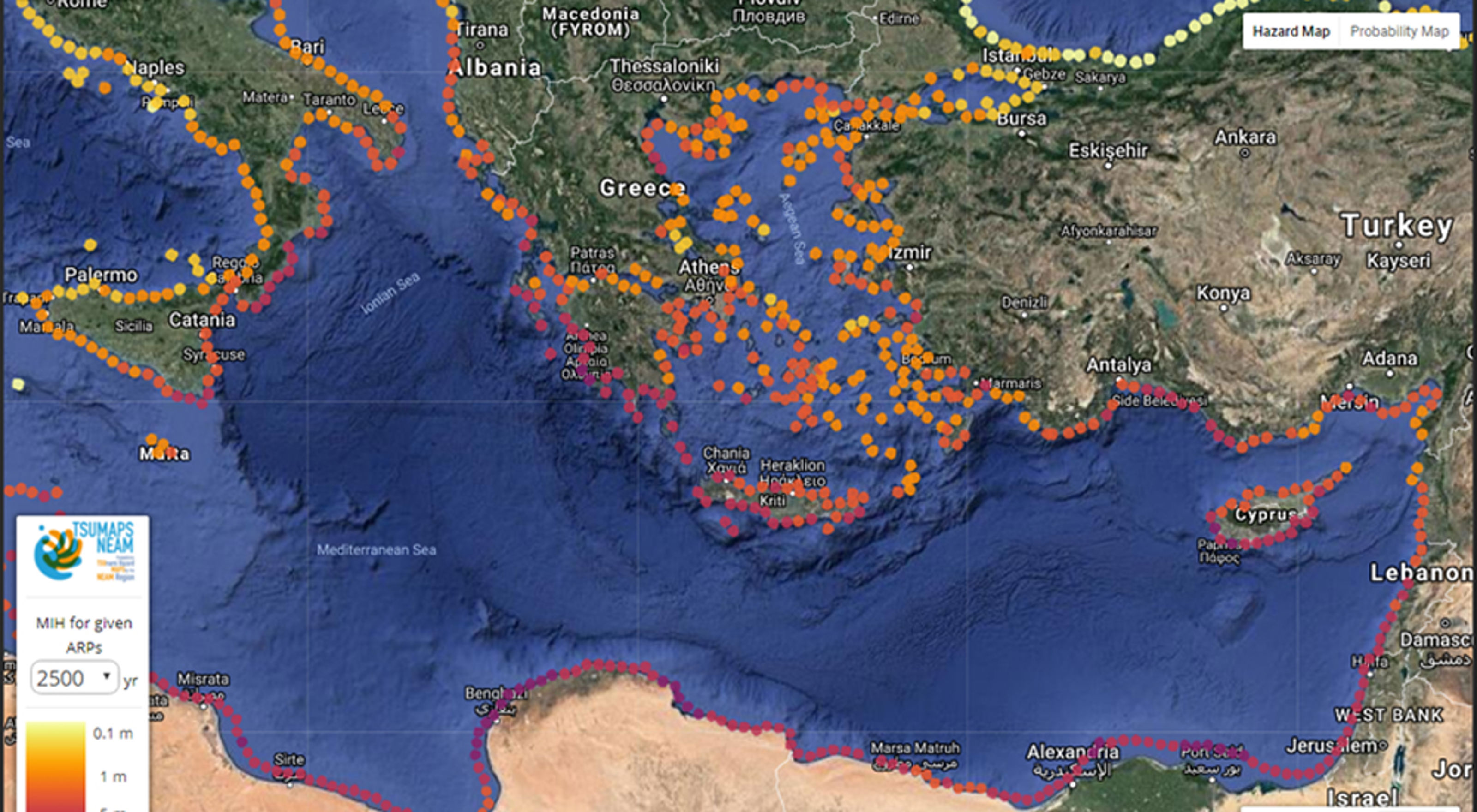
Probabilistic Tsunami Hazard Analysis, or PTHA, gives the probability and uncertainty of a tsunami exceeding a given intensity at a given point on or near the coastline within a given time interval.

PTHA gives: Probability and uncertainty of a tsunami exceeding a given intensity at any point on the coastline within a given time interval
Crucially to the likelihood of a tsunami within a given time-interval is the likelihood of the corresponding earthquakes within the same time-interval. There are well-understood relationships between the size of earthquakes and their frequency: the so-called Gutenberg-Richter law. Smaller earthquakes are far more likely within a given time period than larger earthquakes.
We first "discretize" the potential sources of tsunamis that could potentially happen over a wide range of locations. We identify all the potential earthquakes capable of generating a tsunami as set of distinct scenarios: location, depth, magnitude, fault orientation, slip and slip distribution.
For our coastal location of interest, for every one of our scenarios, we then need to simulate the deformation of the sea floor, the generation of the tsunami wave, the travel of this wave over the ocean, and the run-up onshore. In the ChEESE project, this part of the analysis is being done using the HySEA code developed in Malaga: one of the flagship HPC codes of the project.

Numerical simulation of a tsunami generated by a subduction earthquake in the Hellenic Arc (Greece) using the HySEA program. We see (a) a snapshot of the water height in meters 30 minutes after the time of the earthquake and (b) readings from virtual ocean buoys measuring the height of the wave with time at different locations.
The tsunami propagation calculations are computed on denser and denser grids as we approach the shore and, given a sufficiently accurate digital model of the height of land near the town of interest, we can calculate the flow depth, maximum height, and momentum flux at every point of interest. With such inundation maps calculated for every earthquake scenario, we can calculate the hazard curve by combining the simulation results with the probabilities of occurrence for each of the scenarios.
This information can be used by Civil Protection authorities for the planning of evacuation routes and for developing building code

Inundation in and around the town of Catania, Sicily (Italy), calculated from a numerical simulation of a tsunami generated by a large earthquake close to the coast. In Probabilistic Tsunami Hazard Analysis, inundation maps are calculated for vast numbers of different earthquake scenarios. Each scenario corresponds to an earthquake in a different location and/or with a different magnitude and/or with a different slip or slip distribution.)
The PTHA pilot demonstrator is being led by NGI, assisted by INGV in Italy and the University of Malaga in Spain.

Steven Gibbons
Principal Researcher Climate Adaptation and Hydrodynamics steven.gibbons@ngi.no+47 986 13 288