Geophysical ground investigations

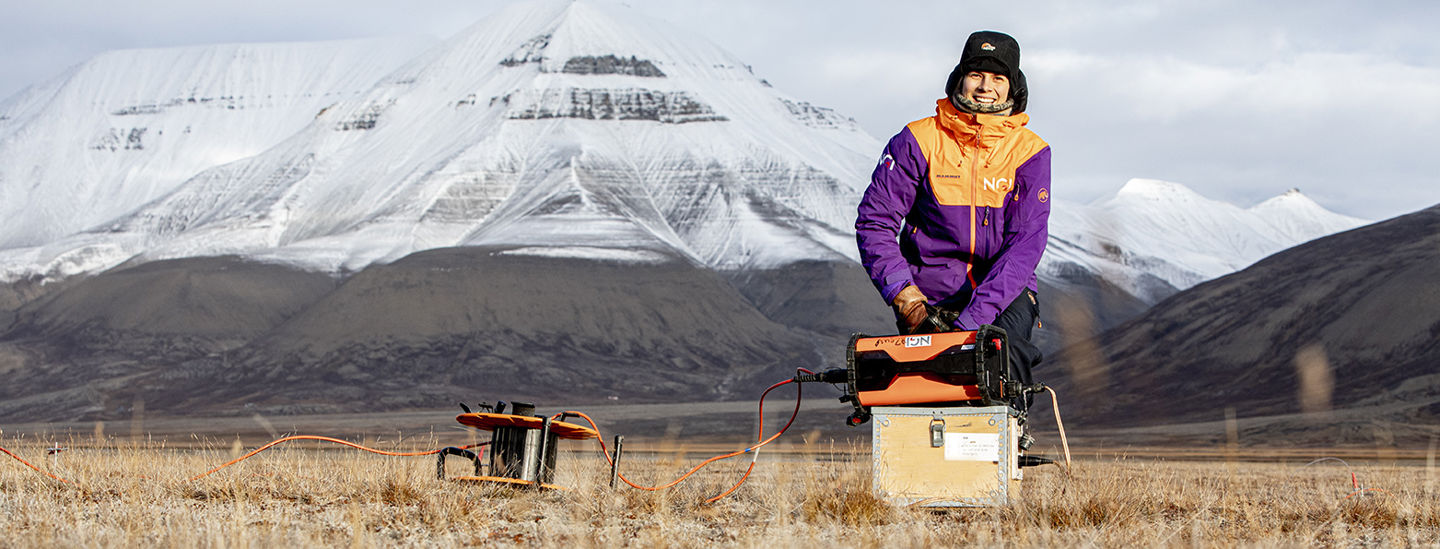
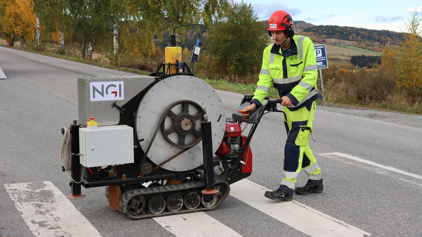
Geophysical ground investigations include several methods for mapping the ground without digging or drilling. The methods are based on physical signals (acoustic/seismic, electromagnetic, gravimetric), which are sent through the ground and then read with suitable sensors.
The properties of the ground will determine how the signals travel in the ground, whether they are reflected, attenuated or deflected. When the measurement data is processed and interpreted, it can be used to derive important geotechnical parameters such as, for example, depth to rock, type of loose masses or weak zones in rock.
With geophysics, you can cover large areas in a short time. Geotechnical drilling or sampling provides more accurate information but is limited to a point and is expensive in comparison. With a combination of the two, the boreholes can be used to calibrate the geophysical results, and the mapping becomes precise, comprehensive and efficient.

Dyre Oliver Dammann
Head of Section Remote Sensing and Geophysics Remote Sensing and Geophysics dyre.dammann@ngi.no+47 930 10 310


