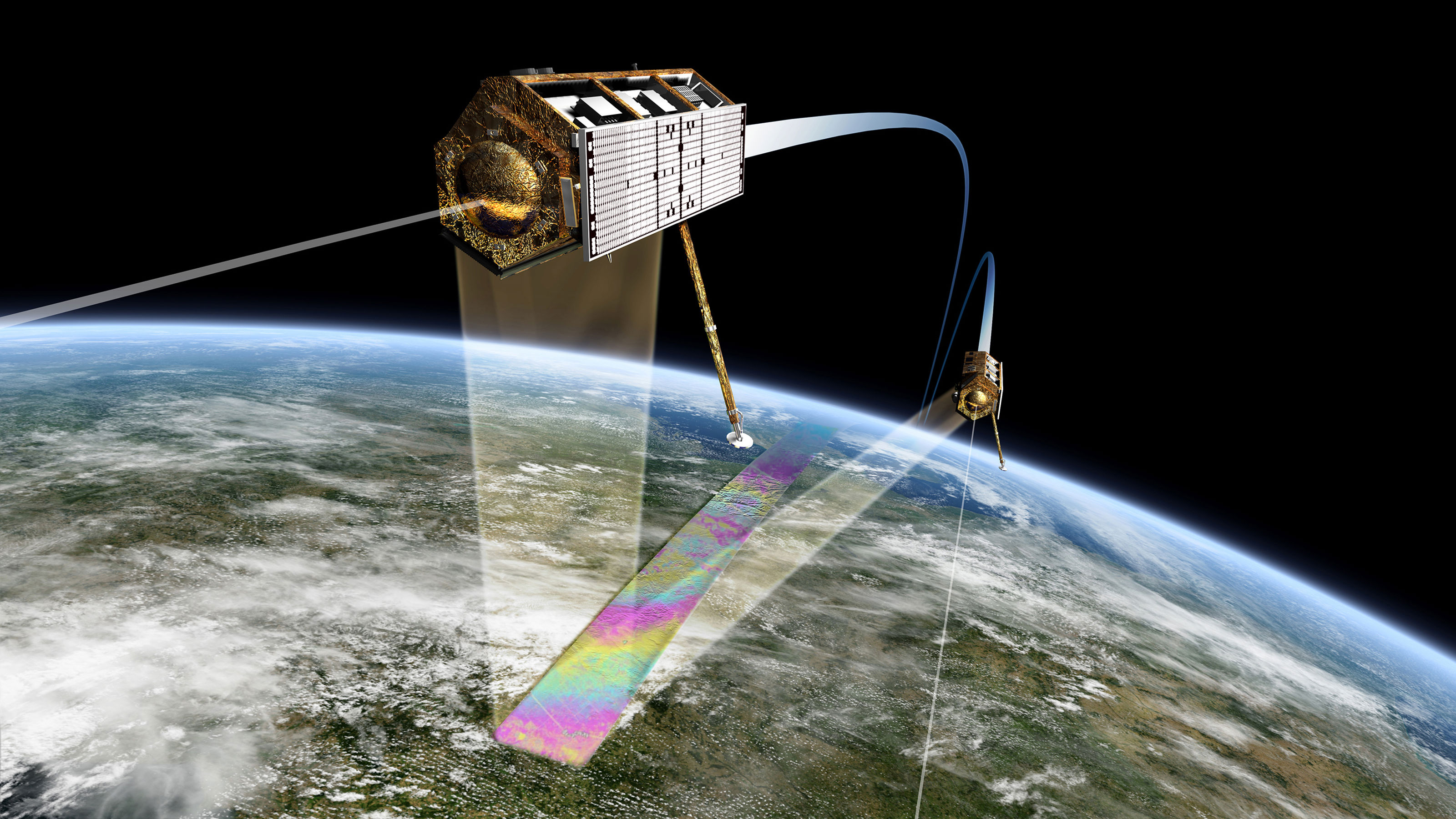
Monitoring by satellite
We enable you to make critical decisions based on ground motion, tell you how much the ground moves, the underlying processes, and ways to stabilize, and combine InSAR with instrumentation to meet your needs.

( Wikimedia Commons http://www.dlr.de/media/en/desktopdefault.aspx/tabid-4986/8423_read-17283/8423_page-2)
Solution focus
For two decades, we have applied InSAR for geotechnics, ground settlement, and slope stability. Our unique services give clients insight into how the ground moves, the underlining processes, and options for stabilization when critical.
Infrastructure monitoring
NGI constantly monitors client assets, including railway and highway systems, to enable decision-making for state and local agencies across Norway and internationally. We use InSAR in the planning, construction, and monitoring of:
- Roads and railroads
- Power grid corridors
- Harbours and airports
Construction and excavation
We perform InSAR monitoring together with geotechnical modeling, which can enable predictions and risk mitigation. We interpret ground motion from the perspective of geological and geotechnical engineering related to:
- Large-scale excavation and construction
- Mining operations in combination with on-site sensors and ground-based radar
- Tunnelling and drilling operations
Supporting energy transition
NGI supports energy companies with our InSAR services by providing monitoring of:
- Carbon capture and storage operations
- Hydropower dams and tailings
- Offshore installations and onshore drilling

Live monitoring Portal
We have developed a state-of-the-art client interface enabling insight and access to the most recent deformation values and trends for live monitoring of all your company assets.
We also train businesses to effectively interpret and integrate data from freely available data sources based on expertise from officially evaluating the European Ground Motion Service.
Don't hesitate to get in touch.


Dyre Oliver Dammann
Head of Section Remote Sensing and Geophysics Remote Sensing and Geophysics dyre.dammann@ngi.no+47 930 10 310

Regula Frauenfelder
Technical Expert Remote Sensing and Geophysics regula.frauenfelder@ngi.no+47 976 85 864