WP2: Remotely sensed detection and monitoring of terrain changes in quick clay areas
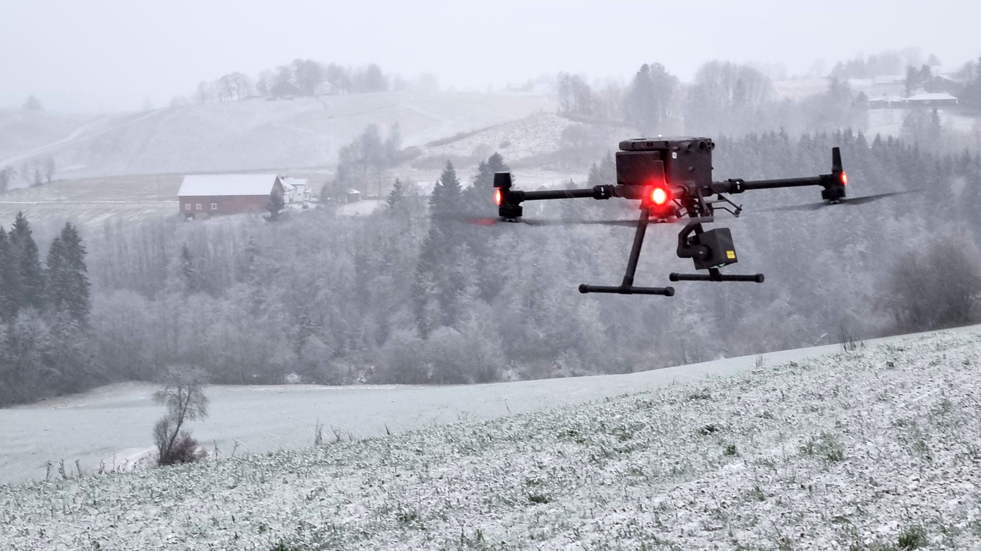
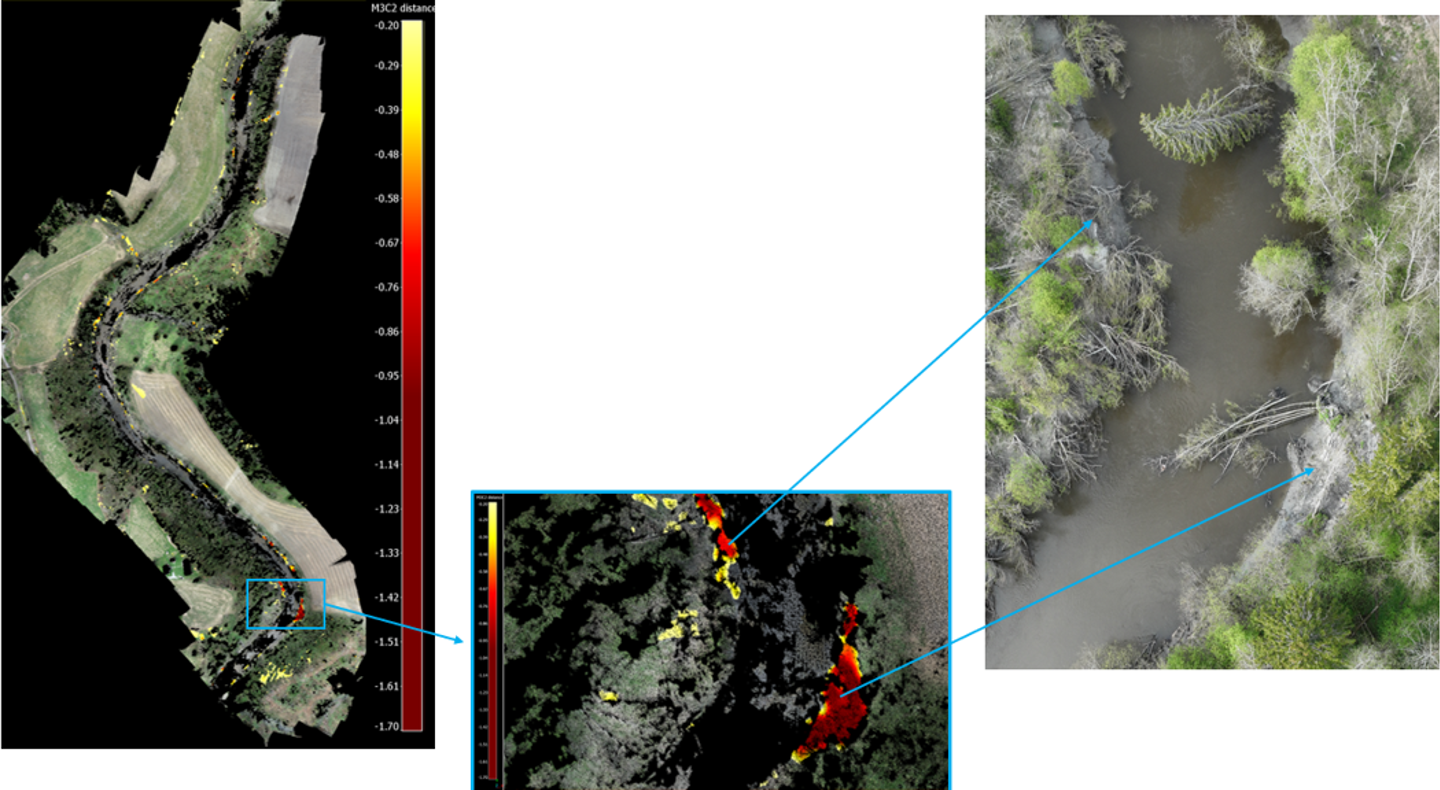
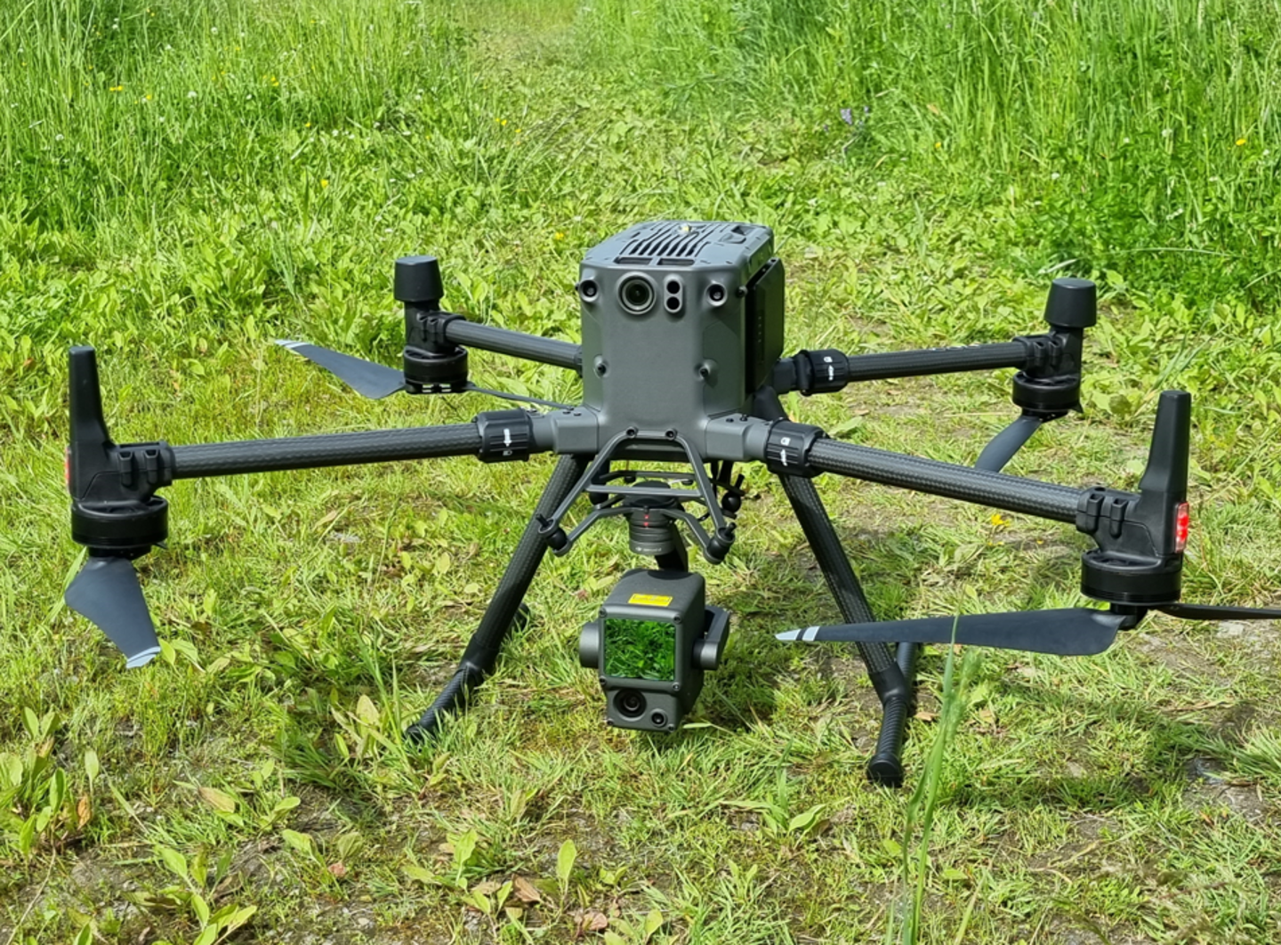
This work package aims to develop innovative methods using remotely captured data to detect and monitor erosion-prone areas in quick clay regions.


Regula Frauenfelder
Technical Expert Remote Sensing and Geophysics regula.frauenfelder@ngi.no+47 976 85 864

