WP1: Automated interpretation of site investigations
This work package will apply machine learning (ML) to large existing geological and geotechnical datasets to determine probability of quick clay deposits at different scales and display the results in a map of the area of interest.

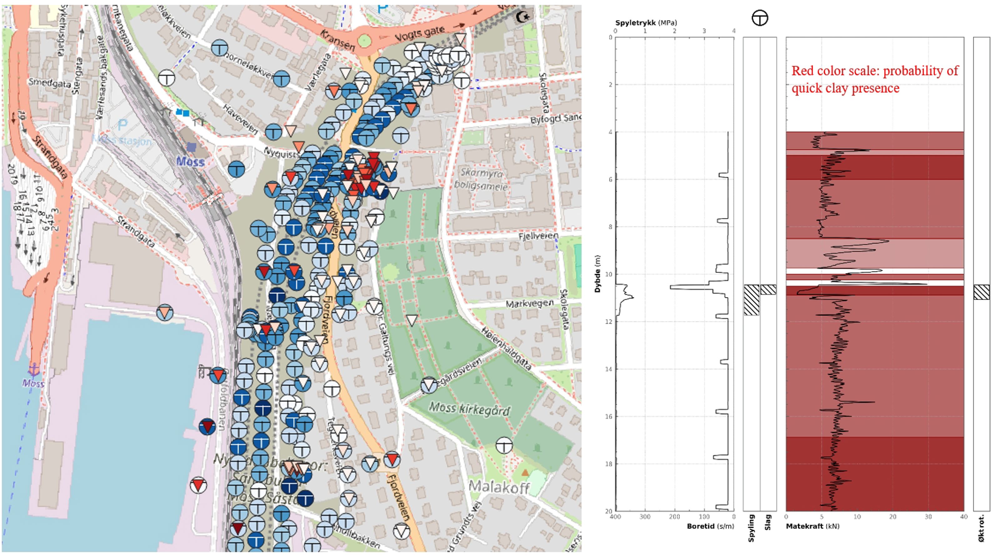
Figure (left): Quick clay probability over a project zone (Darker the blue is, the higher the probability of quick clay presence is. Besides, darker red shows the higher thickness of probable quick clay thickness). Figure (right): Probability of quick clay presence for a total sounding data. ( )
