- NGI /
- Projects /
- International Quick Clay Center /
- RFF – HIGELIG - High resolution Geophysical mapping of the quick clays in Gjerdrum
RFF – HIGELIG - High resolution Geophysical mapping of the quick clays in Gjerdrum

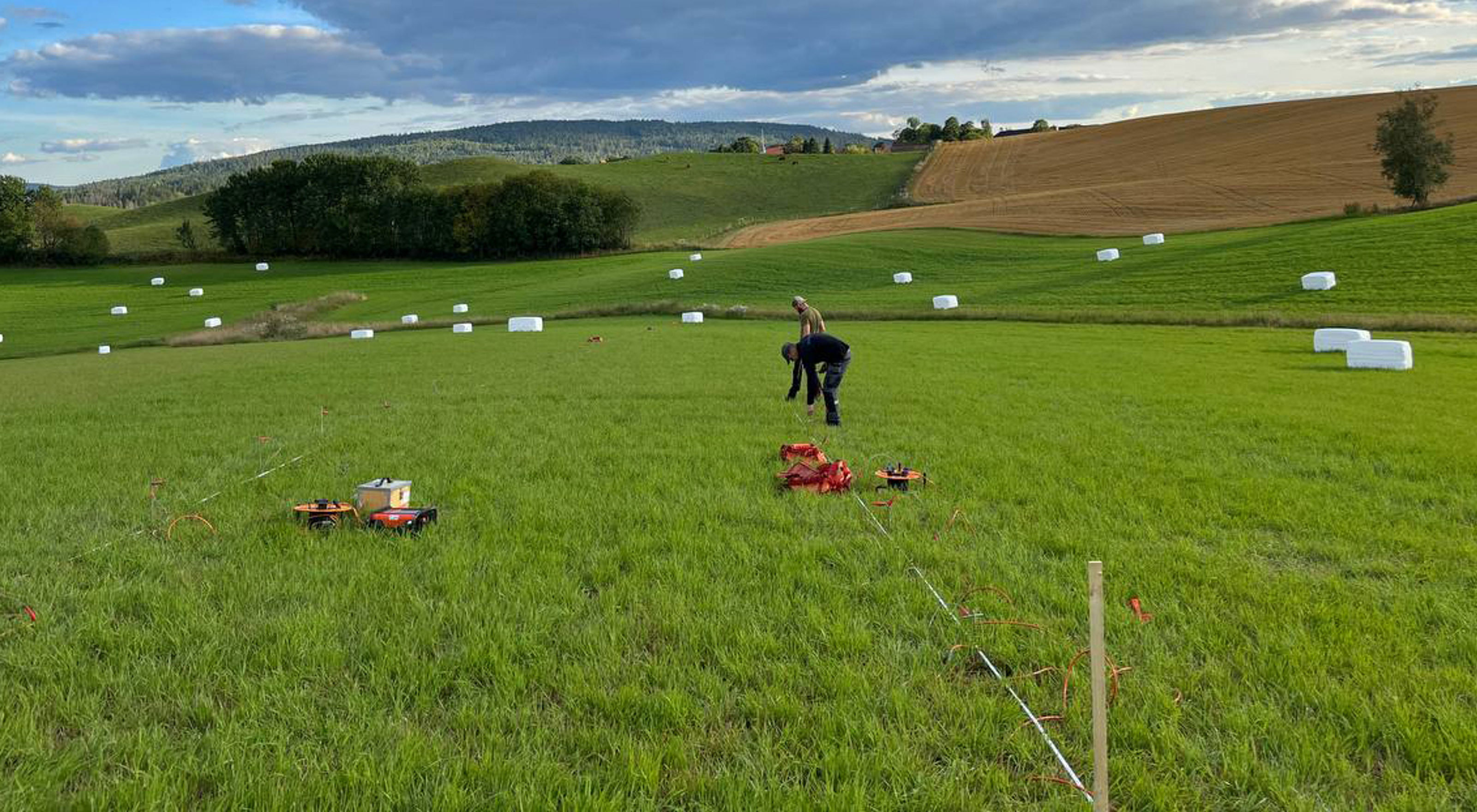
The main objective of the project is to develop a fast-to-operate, effective and non-intrusive geophysical approach for characterization of the areas which are susceptible to presence of quick clays. Geophysical methods including DC resistivity and Induced Polarization (DCIP) data as well as electromagnetic data (using tTEM 3x3), which are sensitive to electrical resistivity/conductivity and chargeability variations within subsurface stratigraphical layers, will be collected from three selected zones around Ask in Gjerdrum to image the subsurface layering and also map the ground water level and its variations. Geophysical data combined with information retrieved from geotechnical boreholes will be used to construct a high-resolution and well-constrained 3D model of the subsurface. Such a 3D model will provide an important basis to minimize the risk for future quick clay incidents in high-risk residential areas in Gjerdrum.