Case studies
In ARCH, 10 lagoons (estuarine coastal areas) are involved, with a geographical distribution covering all major seas surrounding Europe: the Baltic Sea, Norwegian Sea, North Sea, Atlantic Ocean, Mediterranean Sea and Black Sea.

The selected case study sites cover not only various physical environments, but also on a policy level and the degree and range of implementation of ICZM varies strongly. The level of climate change assessment and adaptation also shows large variation from site to site

- Vistula Baltic sea Coastal lagoon and estuary
Lagoon system with riverine input, intensive shipping activity planned construction of navigational channel connecting Polish harbours with the Baltic sea. This can reduce the bilateral disagreement with Russia and allow further economic development of the region along the inland waterways.
- Göta älv Kattegat Estuary
The Göta river is draining the large catchment area of Sweden and its estuary divides in an almost non-t developed northern branch (nature reserve) and the highly industrialised and urbanised southern branch where the city and harbour of Gothenburg are situated. Deepening of the northern branch to divert shipping from the southern branch is being discussed.
- Byfjorden Norwegian sea Fjord
Fjordal system receiving input from a highly urbanised area including regional centre for shipping and transport. Fishing prohibited as results of contamination levels. Increase risk of flooding and landslides as a result of changes in precipitation pattern as well as preserving the UNESCO site at Bryggen.
- Elbe North sea Estuary
The Elbe is the third largest river of Europe. It estuary is strongly tidal influenced and progresses almost 120 km inland. Deepening for shipping purposes has a strong influence on sedimentary transport. Industrial releases, oxygen depletion, nutrient loads and dredged material handling have a strong influence on the system. Urbanisation of the Hamburg region is another serious pressure on the estuary.
- Rhine North sea Estuary
The Rhine Estuary, forms the transitional zone between the North Sea and the Rhine and Meuse rivers. Water levels, currents and sediment transport are influenced by both the sea and the rivers. The densely populated area is a major driving force for the Dutch economy. At the same time the area poses many challenges to water Security.
- Broads North sea Coastal wetlands
Complex wetland of shallow lakes at the interface of fresh/saltwater. Influenced by coastal erosion, flooding events and salt intrusion. Main pressures are tourism, agriculture and change of land use in the catchment area.
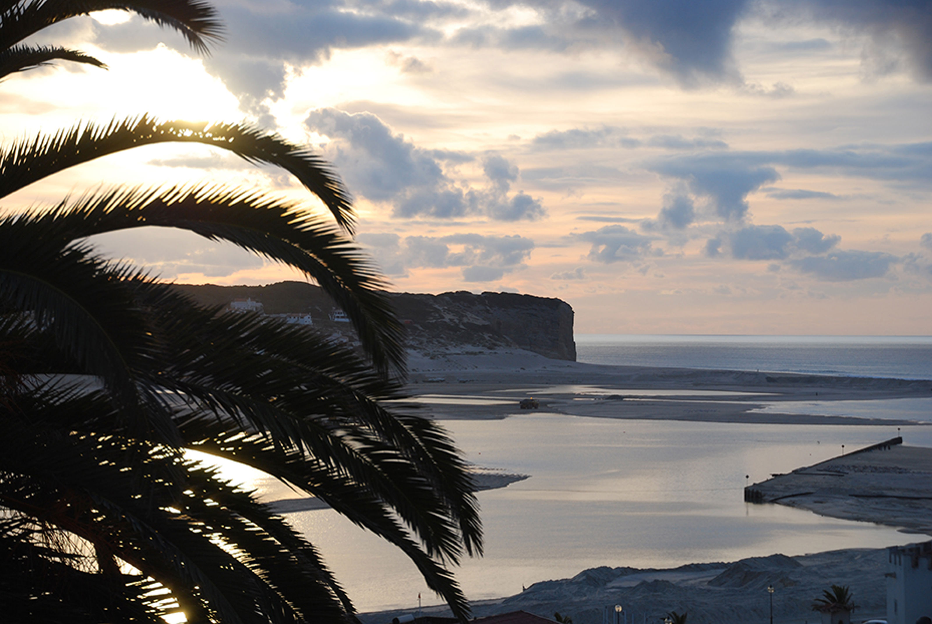
- Òbidos Atlantic ocean Coastal lagoon
A very shallow lagoon and wetland area connected permanently to the sea by a narrow inlet. Historic contaminants stored in the sediments as well as on-going releases result in eutrophication and contamination having a strong influence on shellfish exploitation. Touristic development will increase the urbanisation in the region and result in land reclamation reducing the saltmarshes ecosystem.
- Lesina Mediteranean sea Coastal lagoon
Shallow lagoon along the Adriatic sea with strong fluctuations in salinity. Only pressure is agriculture otherwise not heavily impacted and should remain relatively pristine in the foreseeable future. This site will represent a baseline case in the Project.
- Amvrakikos Mediteranean sea Coastal lagoon
A shallow gulf with a shallow and narrow connection to the sea and two major lagoon complexes along its coastline. Agricultural run-off, sewage and overfishing are the major pressures. Control of water flow from the upstream hydroelectric power dams has a strong influence on salinity and the essential habitats of fish, shrimps and other benthic populations.
- Razelm-Sinoe Black sea Lagoon in Danube Delta Biosphere Reserve
This extensive lagoon system (850km2) is connecting the southern part of the Danube delta to the western part of the Black Sea and is part of the Danube Delta Biosphere Reserve, a UNESCO site. The lagoon system is strongly controlled by Danube water, contamination and sediment transport. Main pressures are agriculture and fishery as well as coastal erosion.
