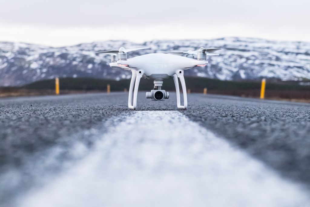
Developing and evaluating drone-based surveying methodology and applications
The main objective of this master's thesis is to develop and evaluate drone-based surveying methodology and applications.

At NGI we are developing our drone surveying capabilities and constantly pursue the development of new applications relevant to our activities within geohazards, geotechnics, and environmental monitoring.
If you are interested in remote sensing and drone-based surveying and applications using optical, infrared and lidar sensors, don't hesitate to contact us at NGI.
Relevant topics include natural hazards such as snow avalanches, erosion in quick clay zones, and infrastructure monitoring related to rock cuts, supporting walls, foundations, and excavation sites.

Dyre Oliver Dammann
Head of Section Remote Sensing and Geophysics Remote Sensing and Geophysics dyre.dammann@ngi.no+47 930 10 310